New GPS Tracking App Assist Search Team Members To Find People Lost In Forest
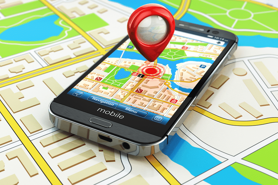
Technology is playing an important role in various fields. Most of today’s work is all depended on technology. The various app helps customers in different ways. They help us to find a restaurant, a hotel, a hospital easily, or assist in finding a specific location. Technology acts as a guiding tool to reach our destination. Majority of US team members are taking help of devices that connects cellphone, GPS with digital maps in order to track a specific location. The technology controls numerous operations of team members during a search operation.
Recently, Yesenia D’Alessandro installed a GPS tracking app on her smartphone and stepped into a remote forest area of Hawaii. She was not the only one to enter the forest instead around 100 other volunteers assisted her in searching for a missing trekker.
She crossed rivers, walked through muddy valleys, and faced high drop-offs in the thick forest with huge trees and ferns. In May, Yesenia lost her college friend Amanda Eller in the forest.
D’Alessandro said,
you have to search everywhere. You have to go down to that stream bed, even though you don’t want to. She could be down there. She came from Maryland.
D’Alessandro and her volunteers collected the GPS information of the area they controlled and organizing members placed the information on the digital map so as to know where to move next.
This technology helped the volunteers to find the lost friend ‘Eller’ of D’Alessandro. Eller was tracked at a waterfall and nearly lived in the dense forest of Maui for almost 17 days. Eller drank river water and ate plants to survive. This search operation of D’Alessandro greatly shows how the latest technologies can be used by search team members to track missing people in the forest progressively.
John Eller’s father mentioned,
“It kind of led us to search outside of that high-priority area to where we actually found Amanda.”
Working of the System
The system displayed when the search team members walked within 3-kilometer radius across Eller’s car. Only after this, searchers took the help of a helicopter and sent it into the forest, Eller was then tracked. Eller is a physical therapist and yoga instructor.
Volunteer search leader, Chris Berquist mentioned,
“We never would have pushed out if we hadn’t searched the reasonable area first. There’s no reason to start reaching further and further out of the box if we hadn’t completely searched the box.”
Search organizers in Hawaii urged search volunteers to download an app ‘GPS Tracks’ of worth $3.99 that indicates line on a digital map and mentions the places users have walked.
The GPS data showed that search teams were repeatedly monitoring the same regions, Berquist mentioned. Organizers started the search process by placing digital pins on the maps of volunteers to give them targets; enabling volunteers to track more ground and make the search process more reliable.
When search members reached across pools of water or rocks, Berquist manages to place digital pins on the map they ran over. Organizers then sent rappelling experts or drone pilots across the rocks and pools of water.
Organizers then supplied the GPS data to the California team. California team used SARTopo to place the GPS data on topographic maps, further allowed everyone to know what regions were covered by the search team and what still needs to be checked.